GO3D TECHNOLOGY
FROM REALITY TO
USABLE DIGITAL DATA
GO3D connects physical spaces, vehicles, structures and components to measurable digital information through 3D scanning, reality capture, modeling and visualization.
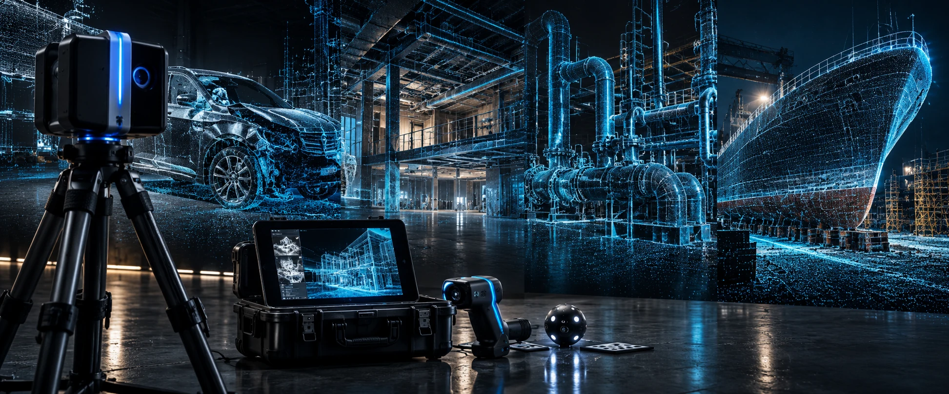
Capture the Physical World.
Build the Digital Record. Put the Data to Work.
01 / THE WORKFLOW
HOW GO3D TURNS
REALITY INTO DATA
A connected process, shaped around the information your project needs.
CAPTURE
Collect physical geometry through 3D scanning, reality capture, imagery, or project-specific field data.
REGISTER
Align and organize captured information into a coherent spatial record.
PROCESS
Clean, review and prepare point clouds, meshes, imagery and measurements for the required workflow.
MODEL
Develop the required 3D geometry, CAD reference, as-built information, visualization assets or technical models.
DELIVER
Package usable data and visual outputs for the client, retained technical team, designer, fabricator, investigator or project stakeholder.
02 / OUR CAPABILITIES
TECHNOLOGY APPLIED TO
REAL-WORLD SERVICES
From scene documentation to component geometry, explore the work behind the data.
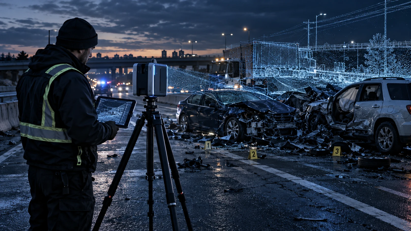
Forensic CSI & Accident Reconstruction
Preserve scene geometry and vehicle relationships as a measurable record for reconstruction teams.
EXPLORE SERVICE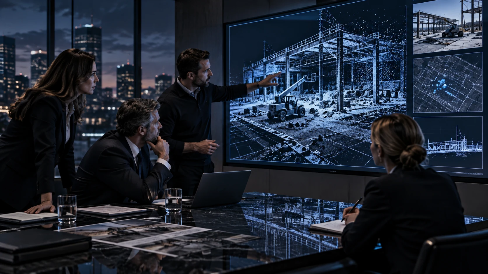
Private-Sector Litigation & Investigation
Organize spatial documentation and technical visuals for attorneys, investigators and retained experts.
EXPLORE SERVICE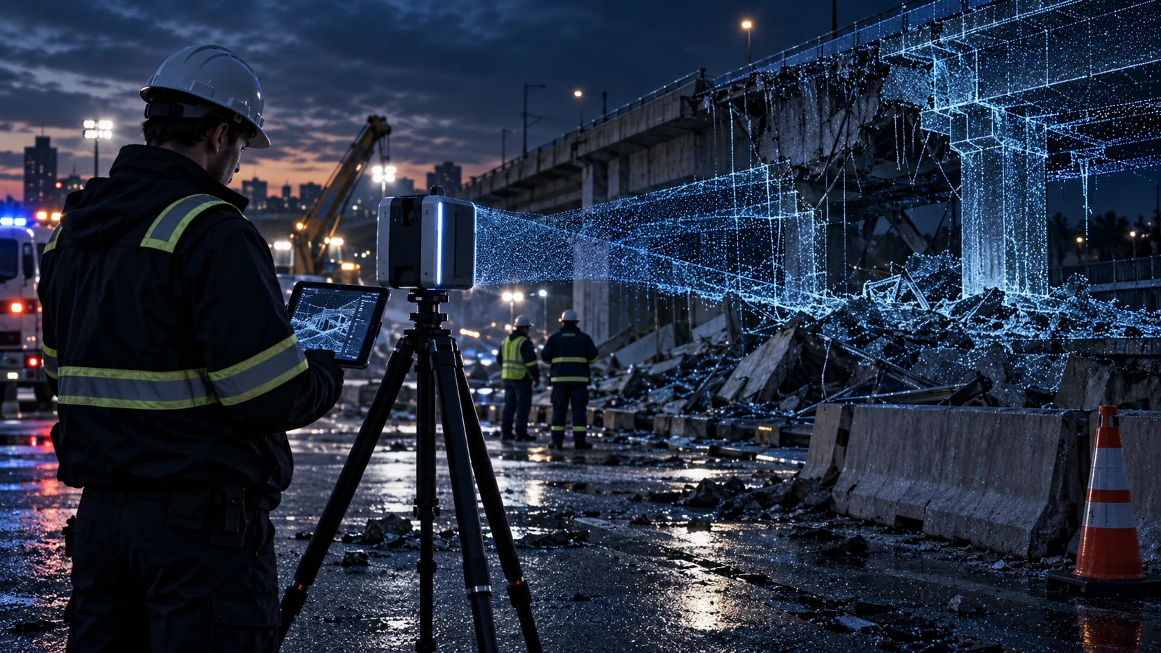
Public-Sector Forensic & Agency Applications
Support agency teams with digital records of scenes, structures and incident conditions.
EXPLORE SERVICE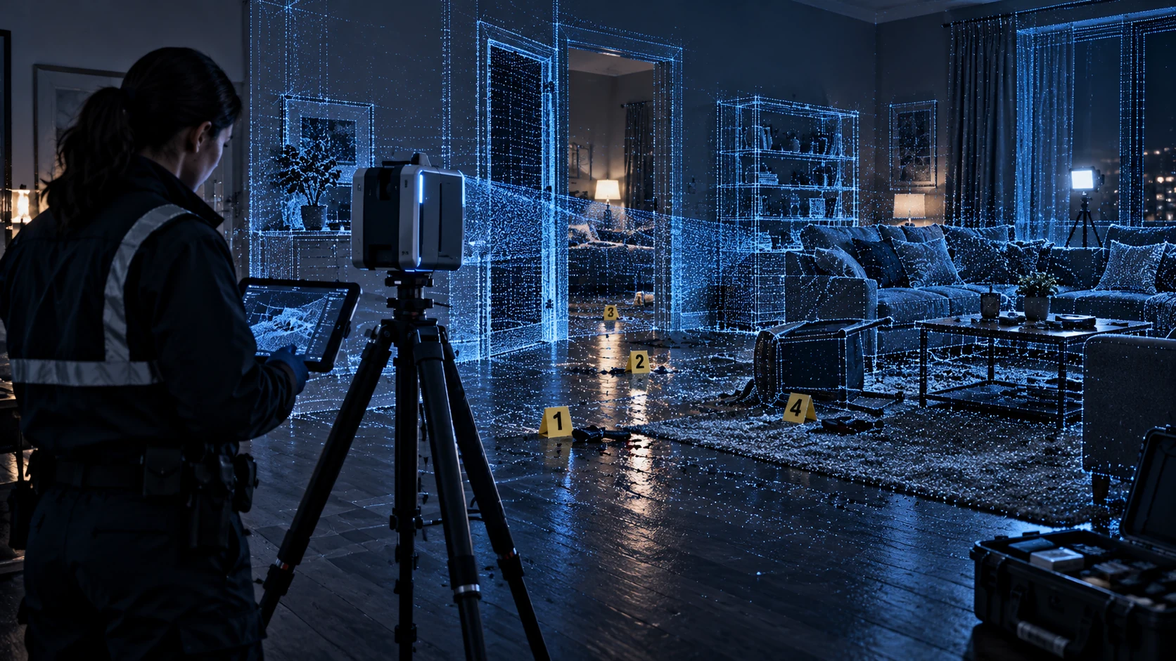
Forensic Science / CSI
Capture spatial context that helps forensic professionals review and document a scene.
EXPLORE SERVICE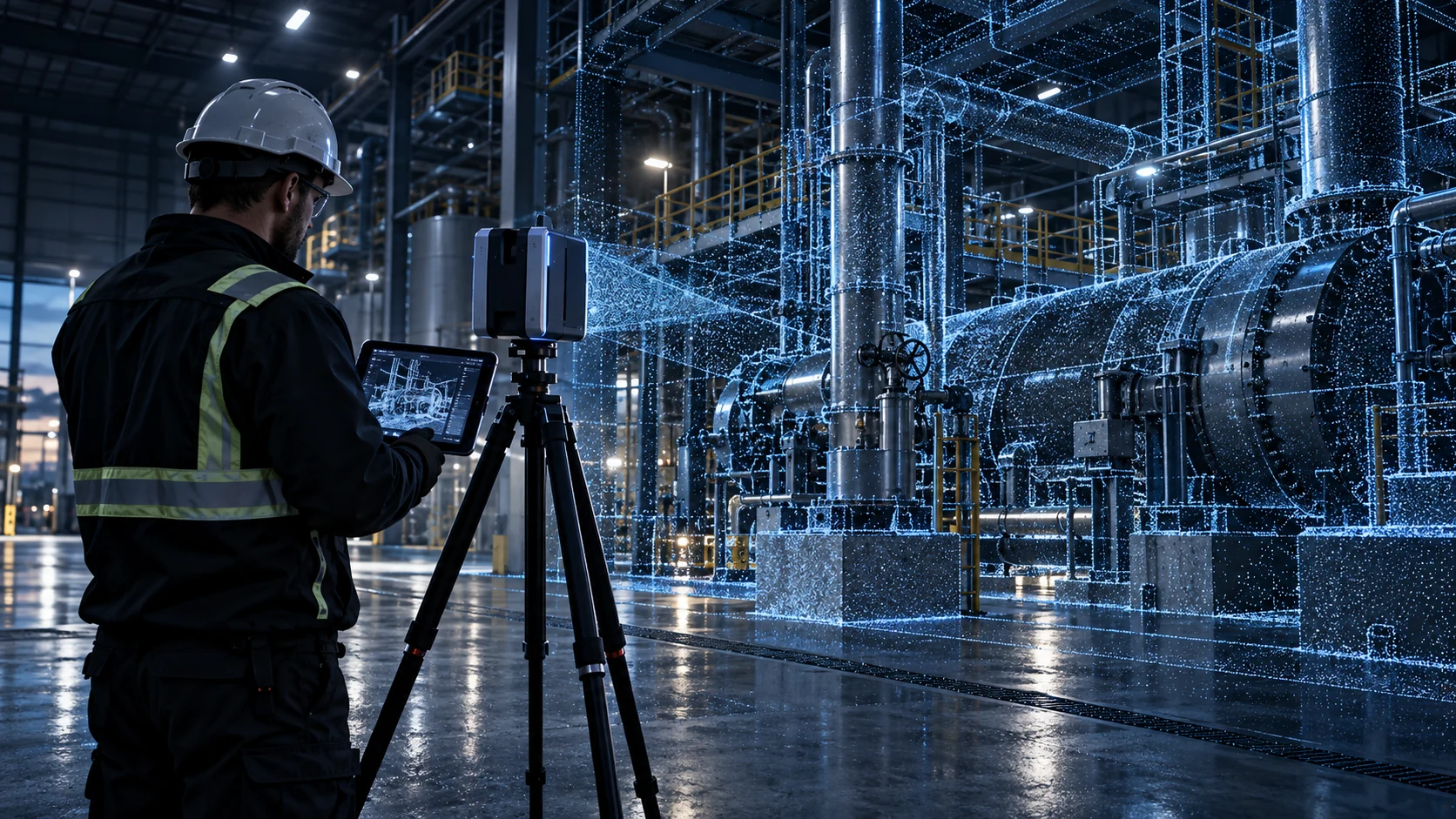
Precision 3D Scanning
Capture detailed surface geometry for measurement, comparison and downstream technical work.
DISCUSS THIS SERVICE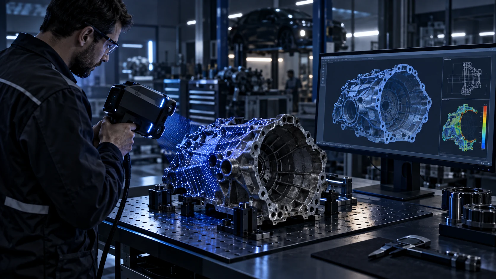
Reverse Engineering & 3D Modeling
Translate captured component geometry into digital models and CAD reference information.
DISCUSS THIS SERVICE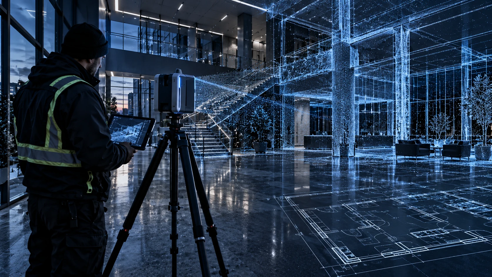
As-Built Architectural Plans
Document existing spaces to support plans and the work of the retained design team.
DISCUSS THIS SERVICE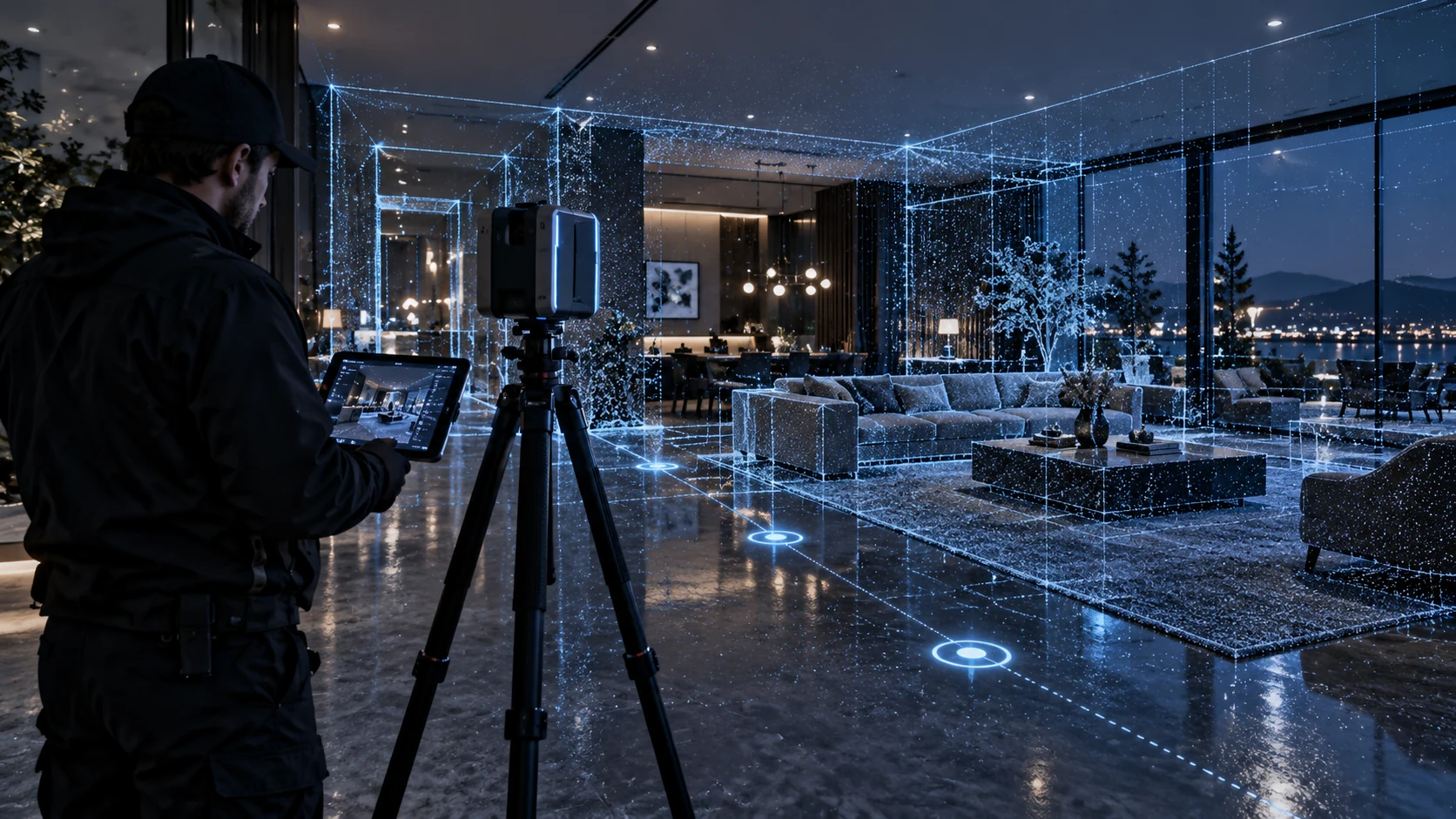
Virtual Tour Integration
Connect captured spaces and imagery into navigable digital experiences.
DISCUSS THIS SERVICE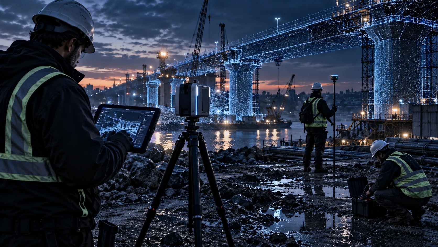
On-Site 3D Capture & Data Acquisition
Bring project-specific capture workflows to structures, sites and field conditions.
DISCUSS THIS SERVICE03 / DIGITAL DELIVERABLES
WHAT THE DATA
CAN BECOME
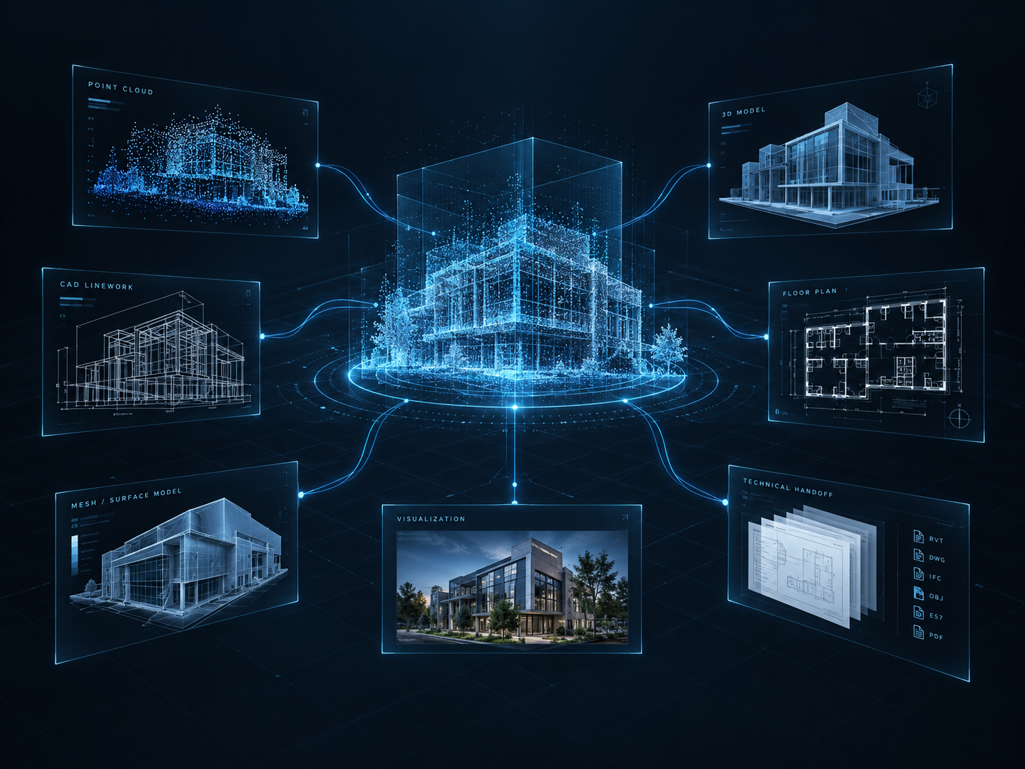
The deliverable starts with the intended use. Scope, detail and file formats are agreed around the receiving team’s workflow.
- 01Spatial Records
- Registered Point CloudsScene Documentation
Aligned measurements and captured context for reviewing physical conditions.
- 02Geometry
- Measurable 3D ModelsMeshes and Surface Models
Digital geometry developed from captured surfaces for the agreed project purpose.
- 03Design Reference
- CAD Reference GeometryAs-Built Documentation
Existing-condition information to support design and retained technical teams.
- 04Communication
- Visualization Assets2D Plans and Diagrams
Clear views and drawings that communicate spatial relationships.
- 05Client Handoff
- Virtual EnvironmentsTechnical Data Packages
Navigable spaces and organized files prepared for the receiving workflow.
04 / INDUSTRY APPLICATIONS
ONE TECHNOLOGY FOUNDATION.
DIFFERENT REAL-WORLD PROBLEMS.
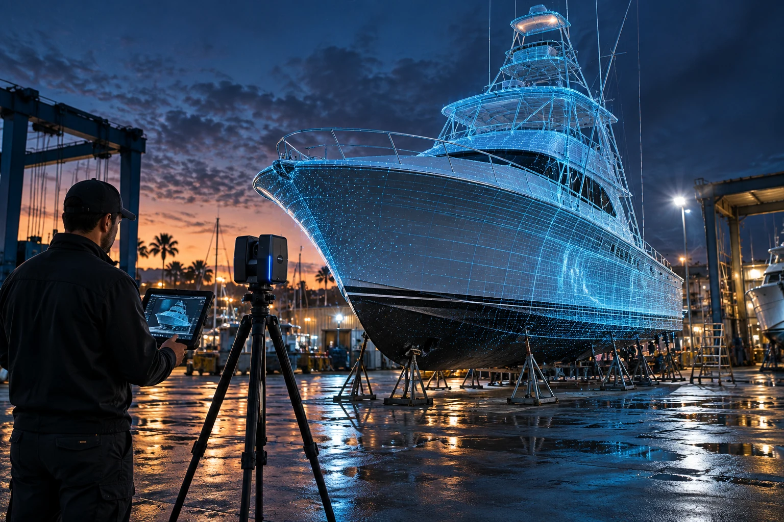
A CORE GO3D FOCUS
Marine
Capture hulls, onboard spaces and components to support refits, fit checks and custom marine work.
DISCUSS YOUR MARINE PROJECT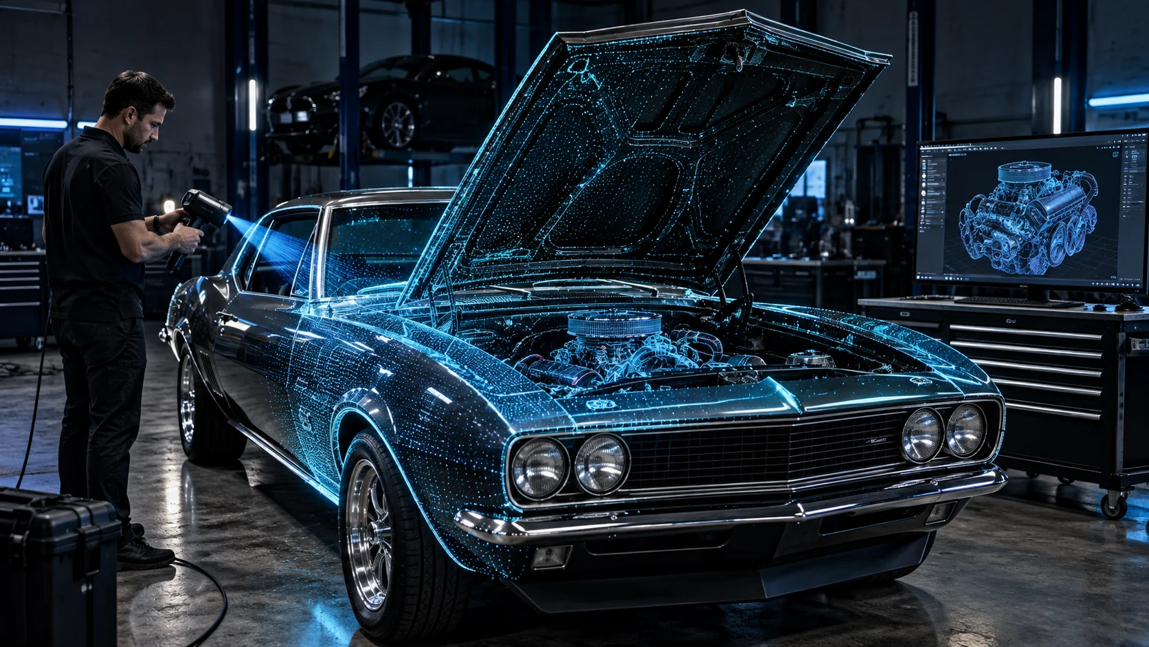
Automotive
Vehicle and component geometry for modeling and technical review.
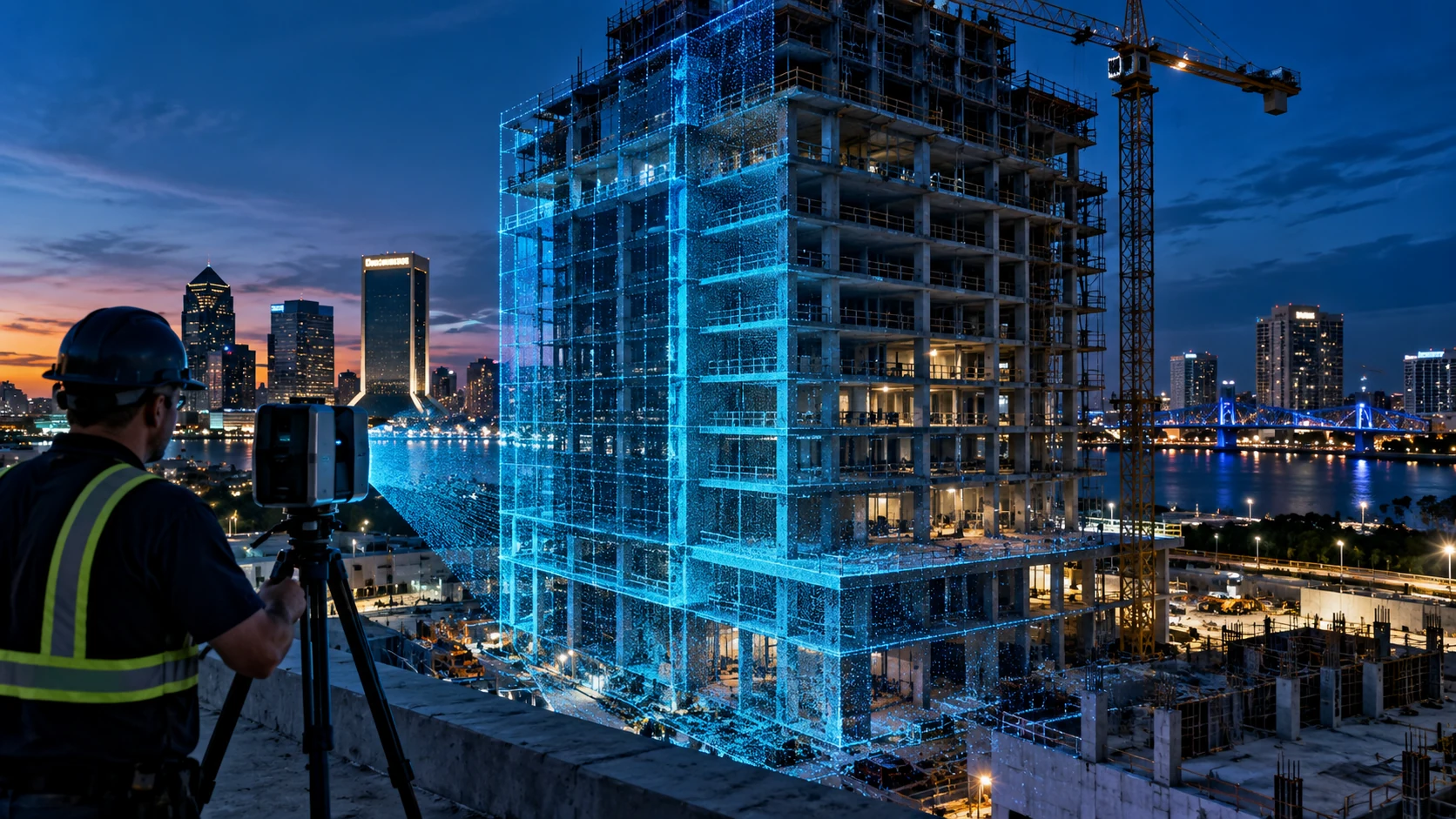
Architecture
Existing-condition records for architectural project teams.
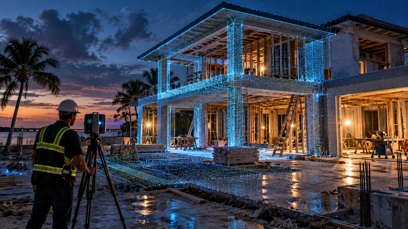
Building Construction
Site documentation to support coordination and planning.
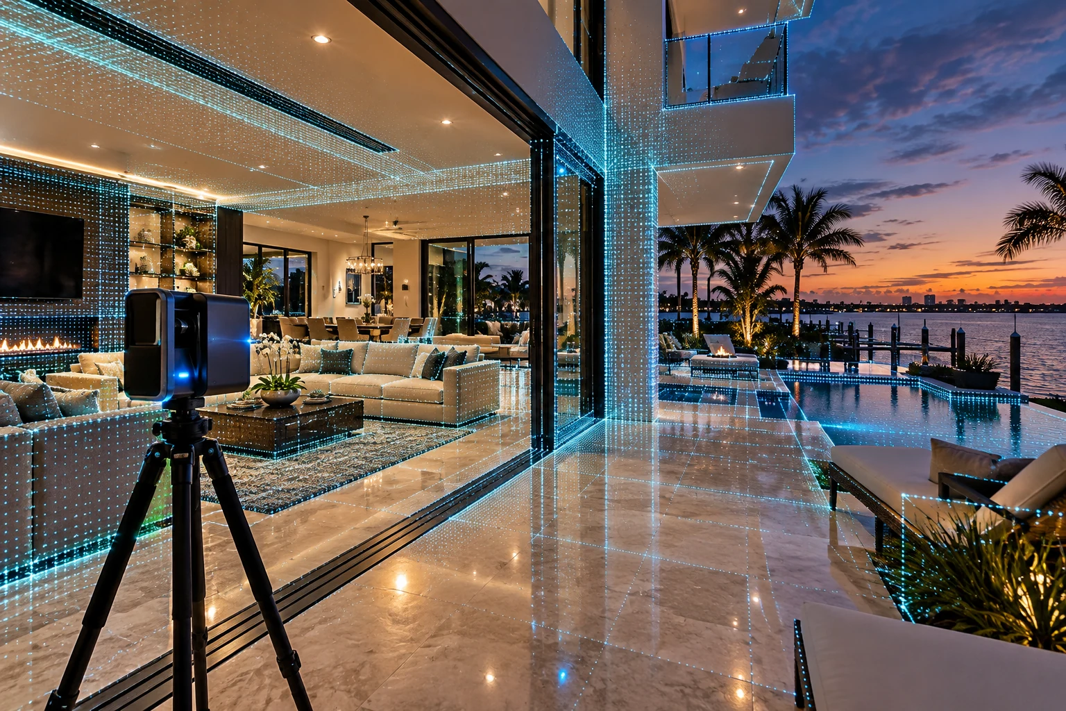
Real Estate
Digital spaces that help people explore a property remotely.
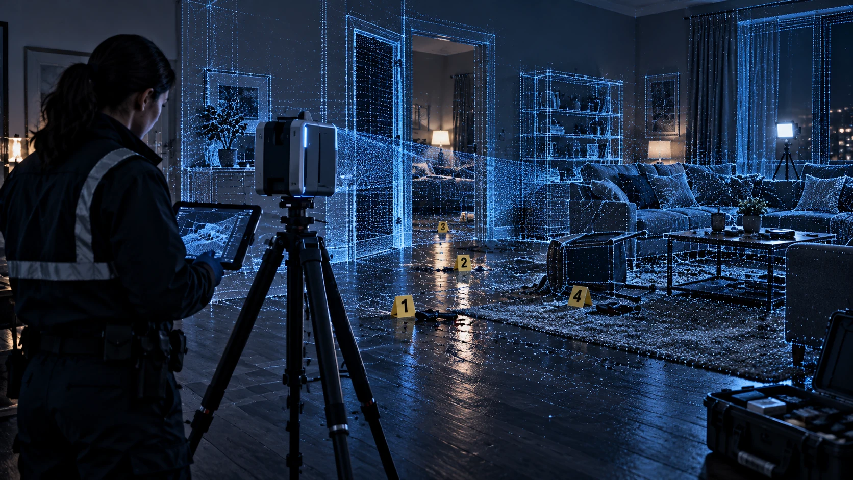
Forensic CSI
Spatial records for investigators and retained forensic experts.
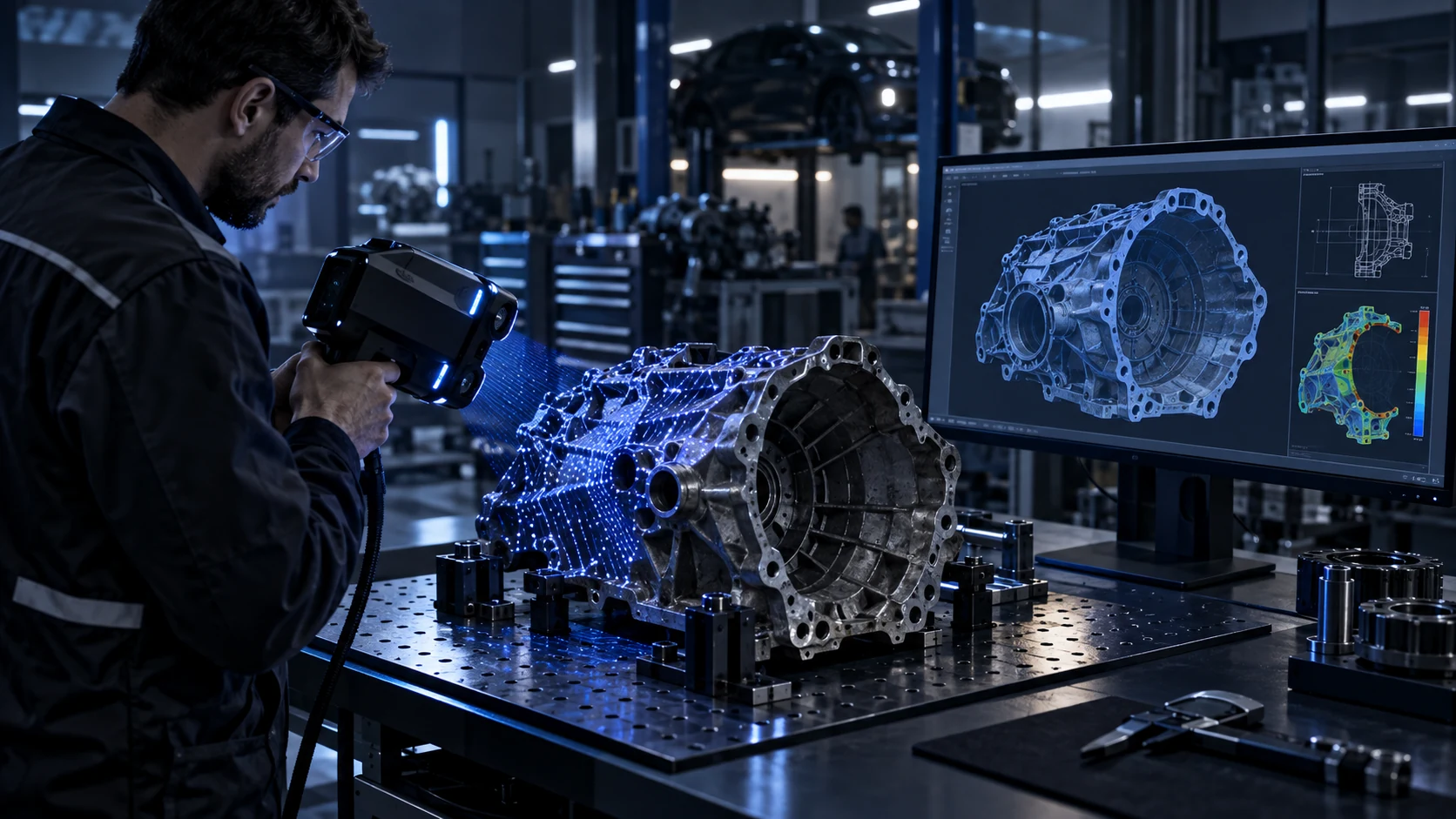
Manufacturing
Component capture for CAD reference and reverse engineering.
05 / REFERENCE LIBRARY
TECHNOLOGY &
INDUSTRY RESOURCES
Go deeper with official references on capture methods, measurement quality and data exchange.
FreeScan Trio
Explore handheld laser scanning technology and the manufacturer’s published scanner capabilities.
EXTERNAL RESOURCE (opens in a new tab)Terrestrial Laser Scanner Performance Evaluation and Documentary Standard for Forensic Practice
Understand how performance evaluation and documentary standards inform forensic scanner measurement quality.
EXTERNAL RESOURCE (opens in a new tab)Crime Scene Documentation: Weighing the Merits of Three-Dimensional Laser Scanning
Consider the practical uses and limitations of laser scanning in crime scene documentation.
EXTERNAL RESOURCE (opens in a new tab)About the Reality Capture Process
Follow the relationship between field capture, scan registration and usable point-cloud information.
EXTERNAL RESOURCE (opens in a new tab)Laser Scanning in Construction: Everything You Need to Know
Explore how construction teams use captured site geometry across project workflows.
EXTERNAL RESOURCE (opens in a new tab)openBIM
Learn how open information exchange supports collaboration across built-environment software and teams.
EXTERNAL RESOURCE (opens in a new tab)CONTINUE EXPLORING
MORE FROM GO3D
06 / TECHNOLOGY EXPLAINED
TECHNOLOGY FAQ
What is reality capture?
Reality capture records physical conditions using methods such as 3D scanning and photography. The resulting information can support measurement, documentation, modeling and visualization.
What is a point cloud?
A point cloud is a collection of measured positions in three-dimensional space. Together, the points describe captured surfaces; they are source data, not automatically a finished CAD model.
What can GO3D deliver from scan data?
Depending on the agreed scope, outputs can include registered point clouds, meshes, 3D models, CAD reference geometry, as-built documentation, diagrams and visualization assets. Deliverables and file formats are defined around the intended use.
Is the same scanning workflow used for every industry?
No. A small component, a marine vessel and a forensic scene have different capture and documentation needs. GO3D adapts the workflow to the subject, site conditions and required outputs, supporting the work of retained professionals.
How does GO3D decide which capture method fits a project?
We start with what needs to be documented and how the data will be used. Size, surface properties, access, site conditions, required detail and the receiving team’s software help determine the capture approach.
LET’S DEFINE THE NEXT STEP
HAVE A PHYSICAL PROBLEM
THAT NEEDS A DIGITAL RECORD?
Tell GO3D what needs to be captured, measured, modeled or documented. We can help identify the right next step.